Canopy Resilience Project Updates
Dear project participants,
The winter rains have come, thankfully the bush is reviving in many places, and the first phase of the Canopy Resilience Project is blossoming. Our team UWA are working hard to interpret satellite observations and the information about trees and their health that you provided to understand the drought impacts across Boorloo/Perth and the south west.
Thanks to you we have had more than 1200 records of tree health made on the web app, with more still trickling in!
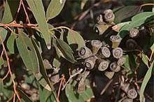
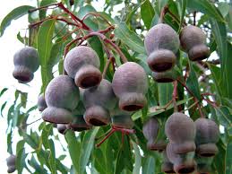
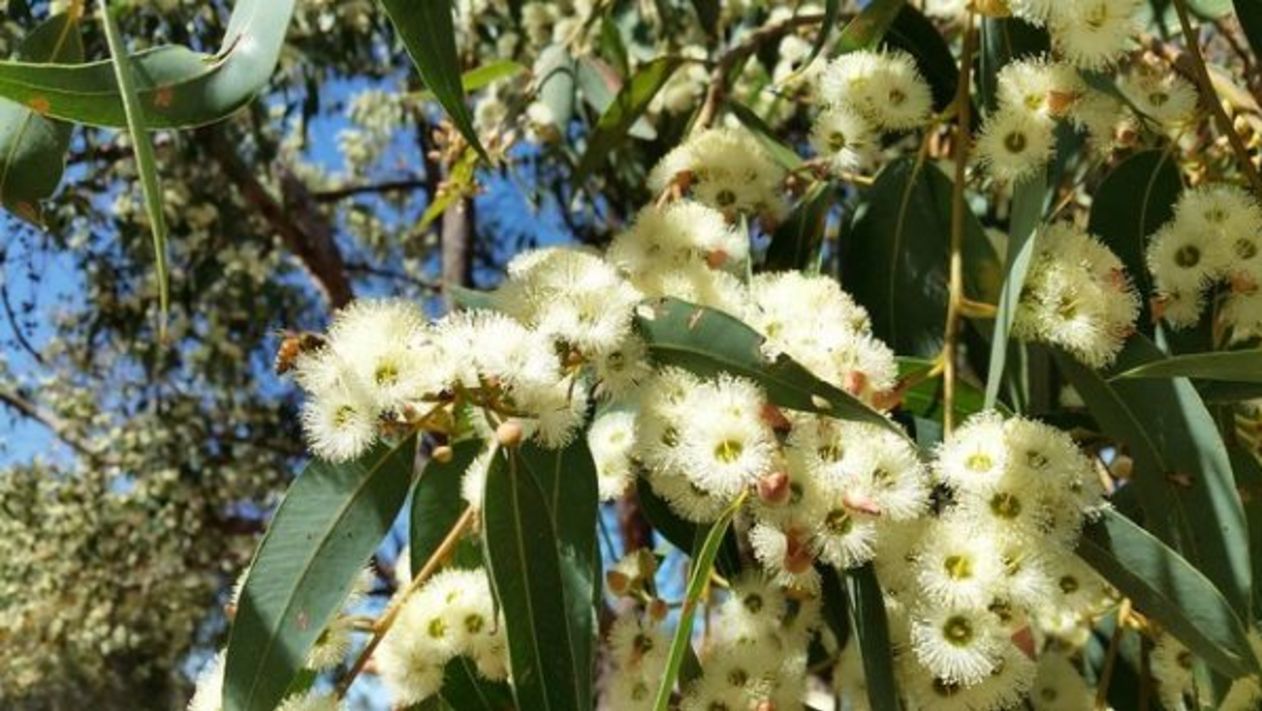
Although more than 30 different plant species were reported on the app, most reports featured Tuarts (Eucalyptus gomphocephela), Marris (Corymbia calophylla), Jarrah (Eucalyptus marginata), Peppermints (Agonis flexuosa), Queensland Box (Lophostemon confertus) and general “Eucalypts”.
Truart.
Marri.
Jarrah.
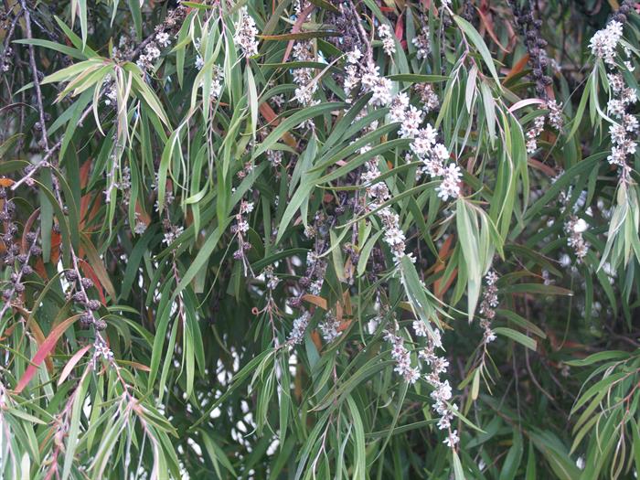
Peppermints.
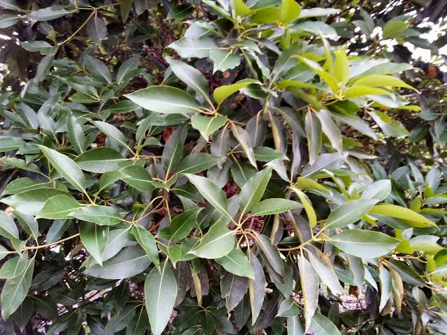
Queensland Box.
Most ratings were for trees in poor health, but we captured a good diversity of stressed and healthy trees.
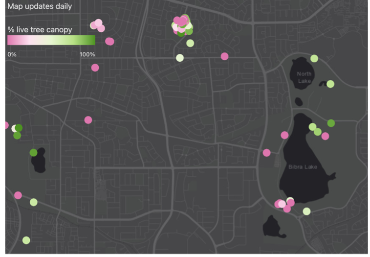
Web application data near Bibra Lake, and satellite observations of vegetation stress near Bibra Lake. In the map on the left, pink trees have bare or dead canopies, while green dots are healthy trees (Basemap: ESRI).
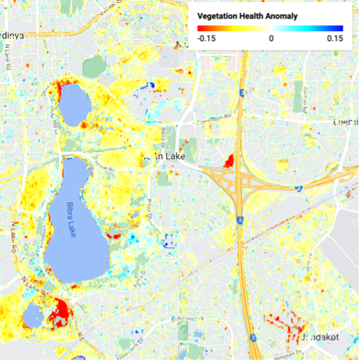
Red and yellow colours show where plants in 2024 were more stressed compared to a ‘normal’ autumn (Basemap: Google Maps).
In Boorloo/Perth, satellite observations suggest that up to 45% of all vegetation was in worse health in autumn 2024 than in a ‘normal’ autumn.
Our next step is to link the tree ratings to the satellite observations so we can say ‘how bad’ things are for those impacted plants.
There is still a bit of work to do before we can make this link well. One challenge is the difficulty of entering tree locations accurately on the web app. We didn’t want it to take forever to load up on your phones, but unfortunately that means that many of the rated “tree” locations are a bit off - we need to fix that!
We also need to watch out for places where grass below the trees might influence the satellite images a lot and give us misleading results – this is called a ‘mixed pixel' problem.
Both of these problems mean we need to go through all 1200 trees and correct the location and flag any places with mixed pixels. It is a bit of a manual process, but it will improve our results a lot!
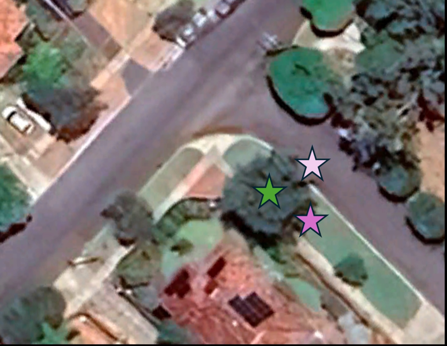
If the location shows up on the road next to a tree (pale pink star) or at the edge of the tree canopy (pink star) we will need to move its location to the centre of the tree (green star) to avoid errors or mixed pixel effects.
For those of you who shared data from outside the Perth area, we passed your observations to scientists at the Department of Biodiversity, Conservation and Attractions who are working to understand the impacts of last summer on forests and bushland. Thank you.
We hope to get you some more updates in a few months.
Thanks to all of you for all your help and for your care for trees in southwest WA and Boorloo/Perth,
The Canopy Resilience Team